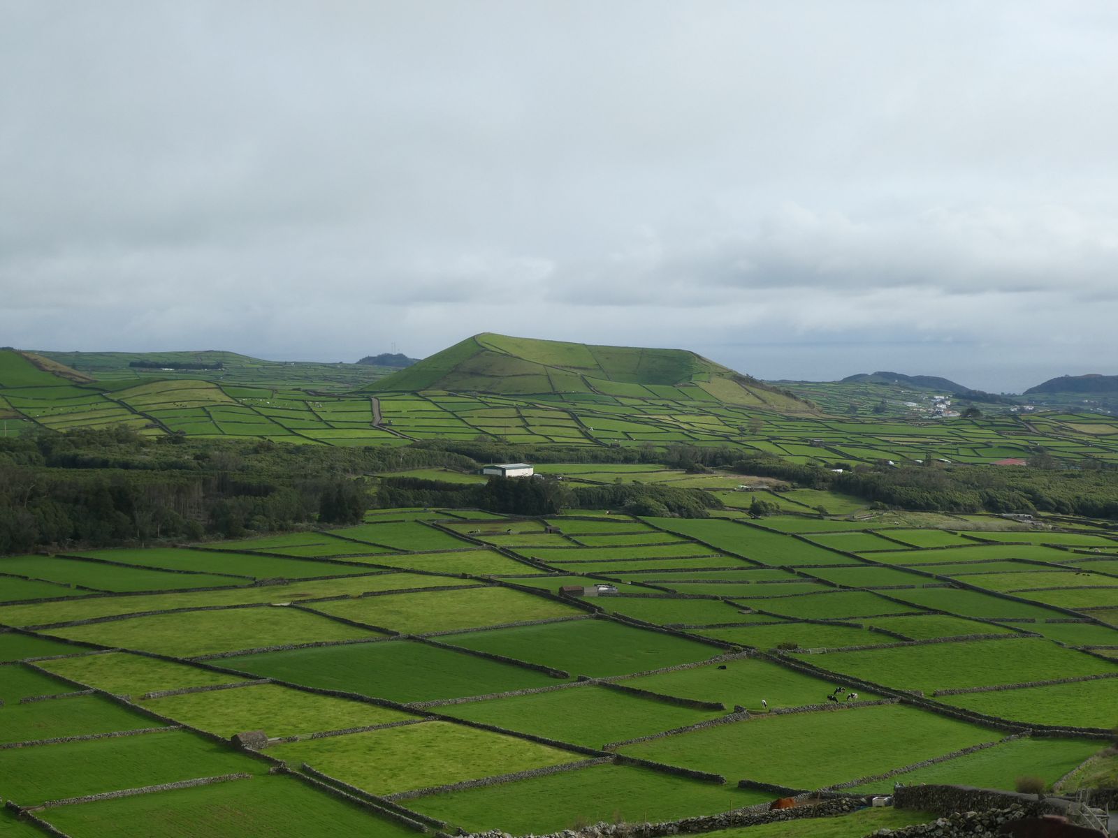
01 • LANDOWNER
Plot & Boundary Understanding
Useful when you need clearer dimensions and field reference around your property.

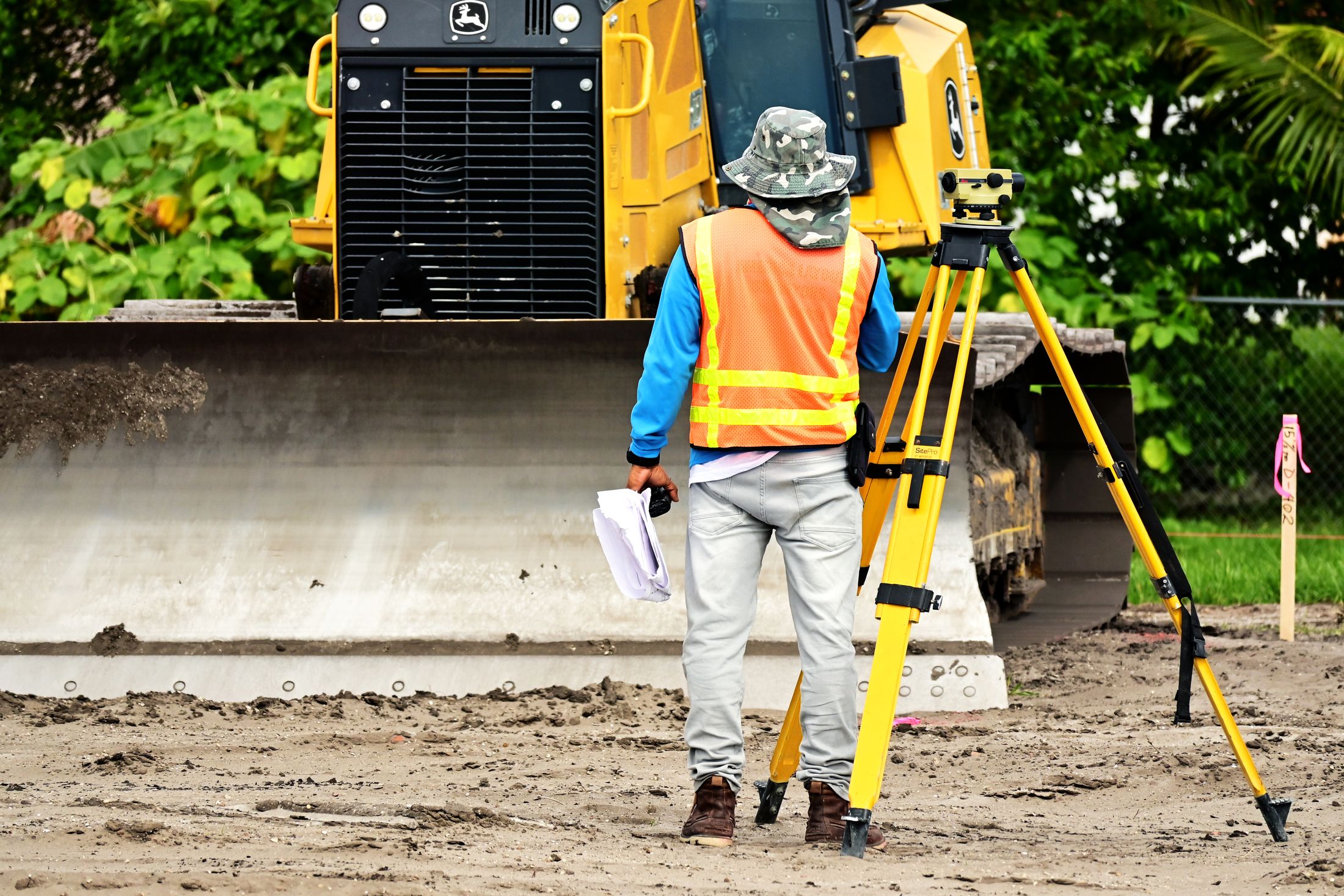
Raska Land Care provides digital land survey and practical real estate land-care support from Banshihari, Dakshin Dinajpur—with a field-first approach built around clear measurement, mapping and site understanding.
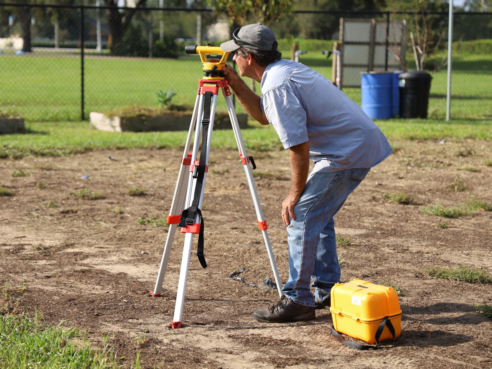
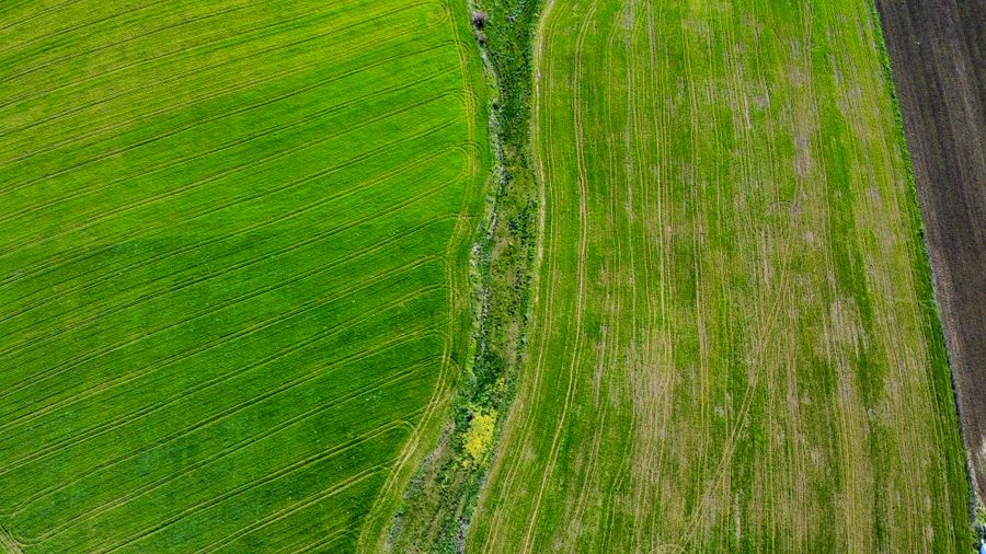
Every land decision begins with understanding what is actually on the ground.
Whether you need a digital survey, plot measurement, boundary assistance, topographic understanding or support around a real estate site, Raska Land Care brings the field observations and mapping process together in one focused service.
Survey work planned around the actual land, access and project requirement.
Information organised to help owners, buyers and project teams understand the site more clearly.
Instead of icon-only service cards, each core service is presented through real field imagery and a focused use case.
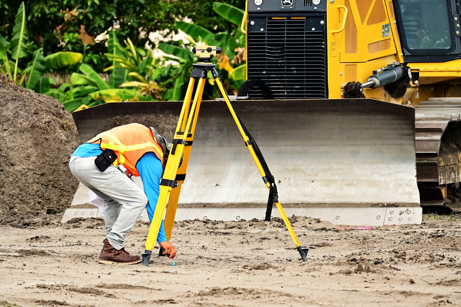
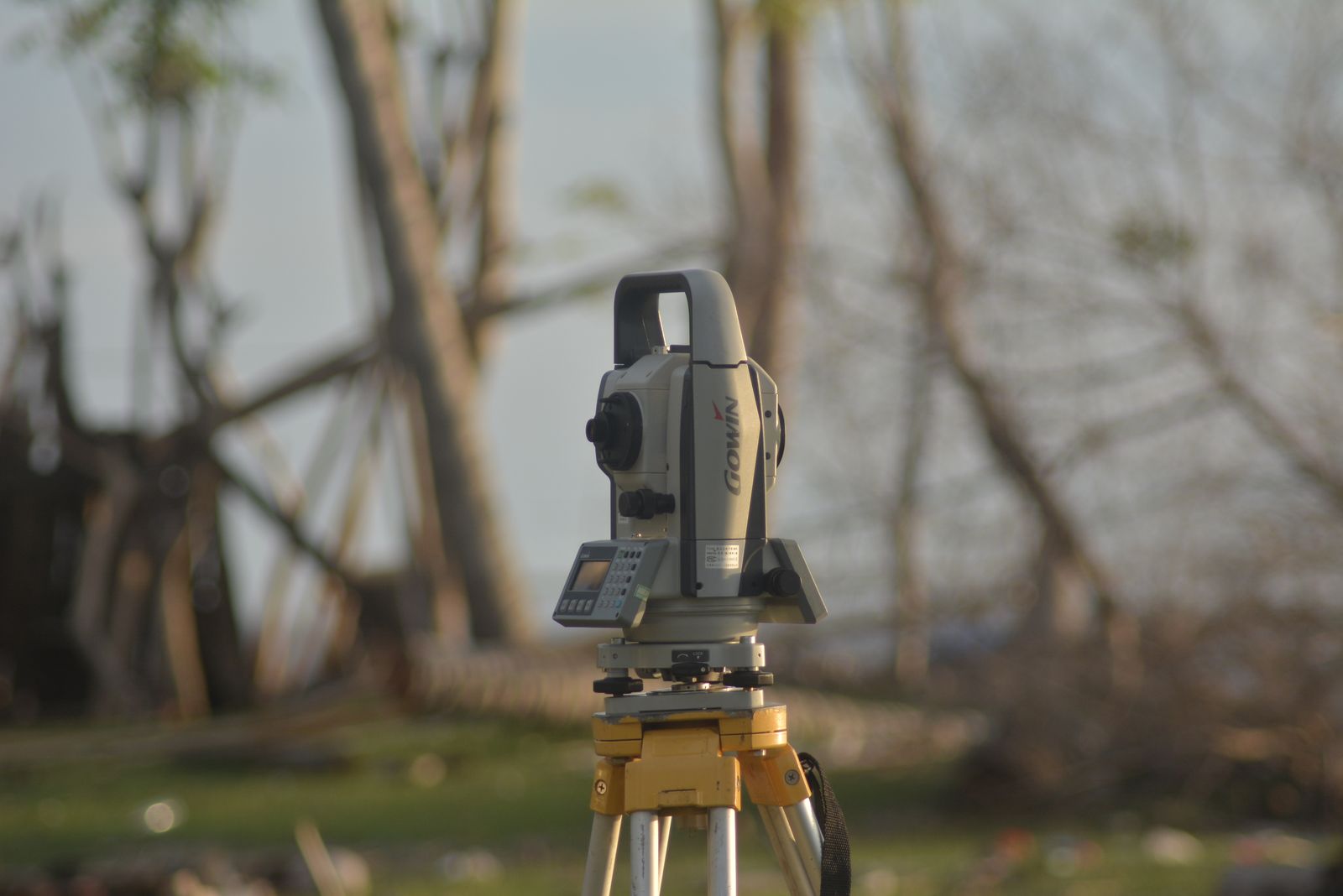
Field measurement using modern survey workflow for plot understanding, planning and property-related requirements.
Explore All ServicesLand work becomes easier to understand when the process is visible from the beginning.
Share the site, purpose and the kind of measurement or land support you need.
We inspect the site, access, visible points and ground conditions before field measurement.
Relevant dimensions and field data are captured according to the service requirement.
The collected information is organised into a clearer, practical format for the next decision.
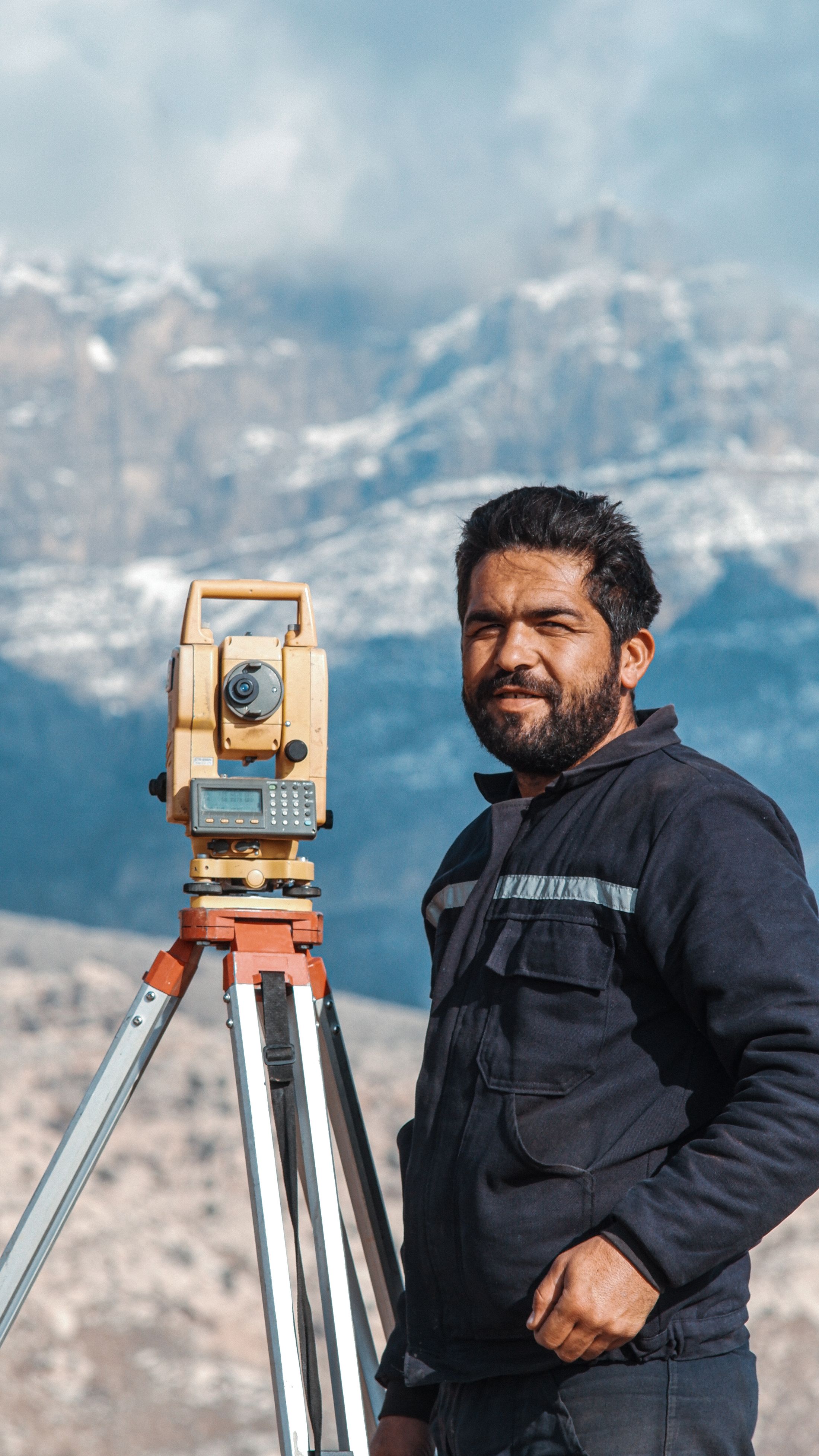
Raska Land Care is positioned where survey work matters most: on the ground, where boundaries, access, levels and actual site conditions shape every property decision.
Discuss Your LandOpen land, plotted layouts, farmland and residential surroundings all call for different field attention.
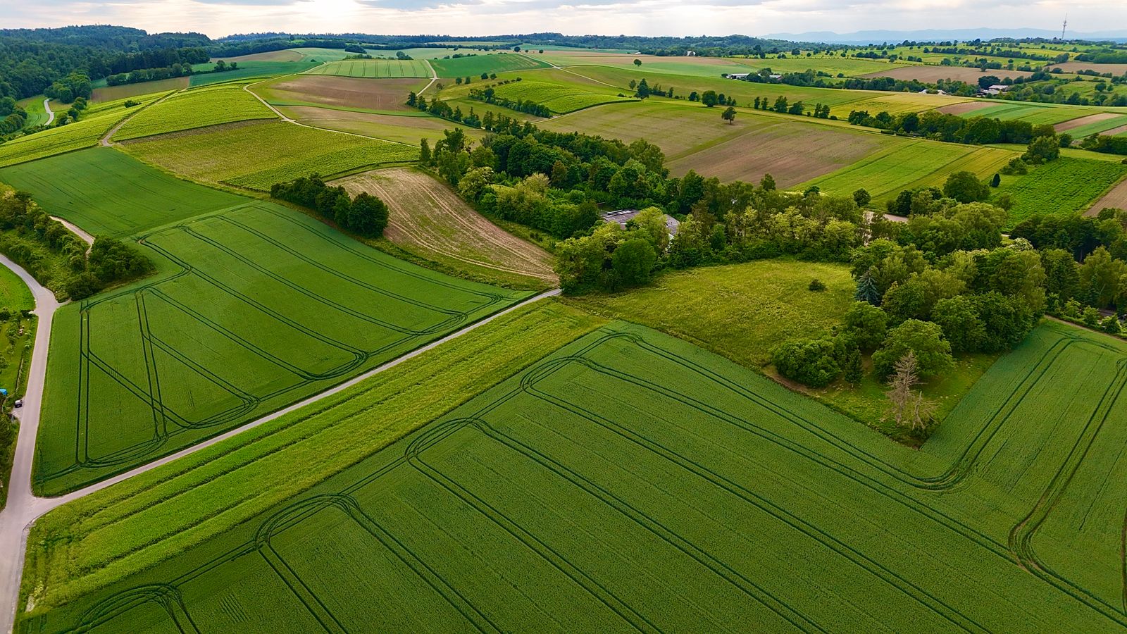
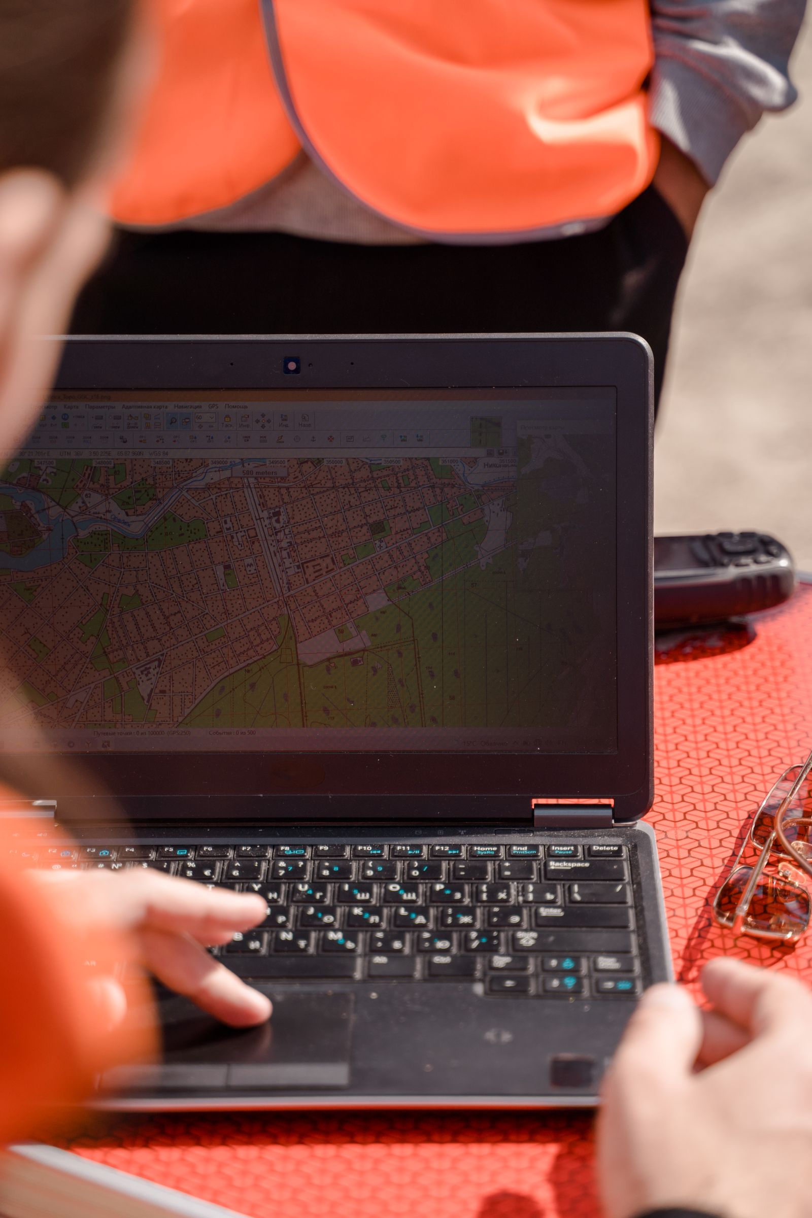
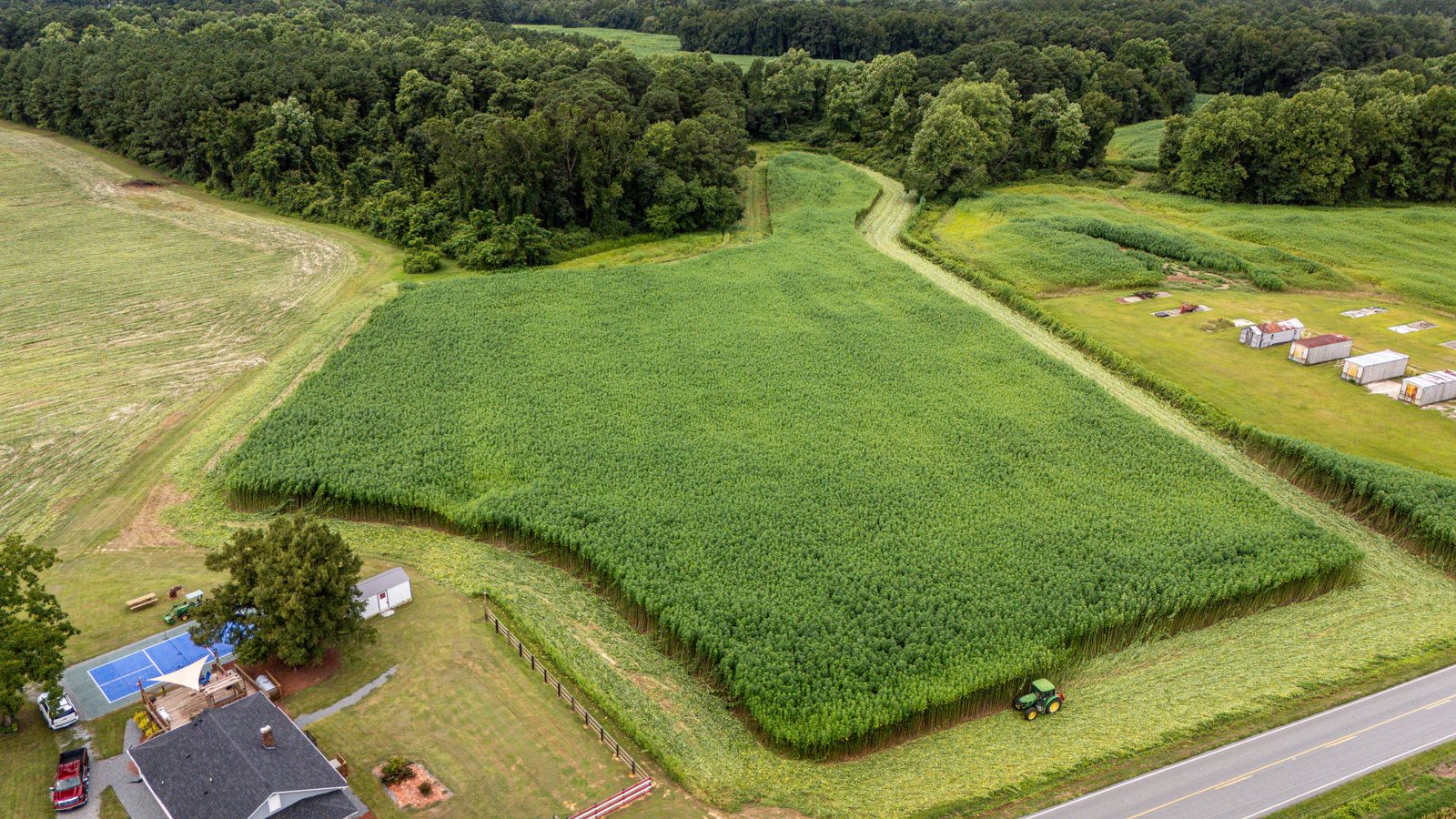
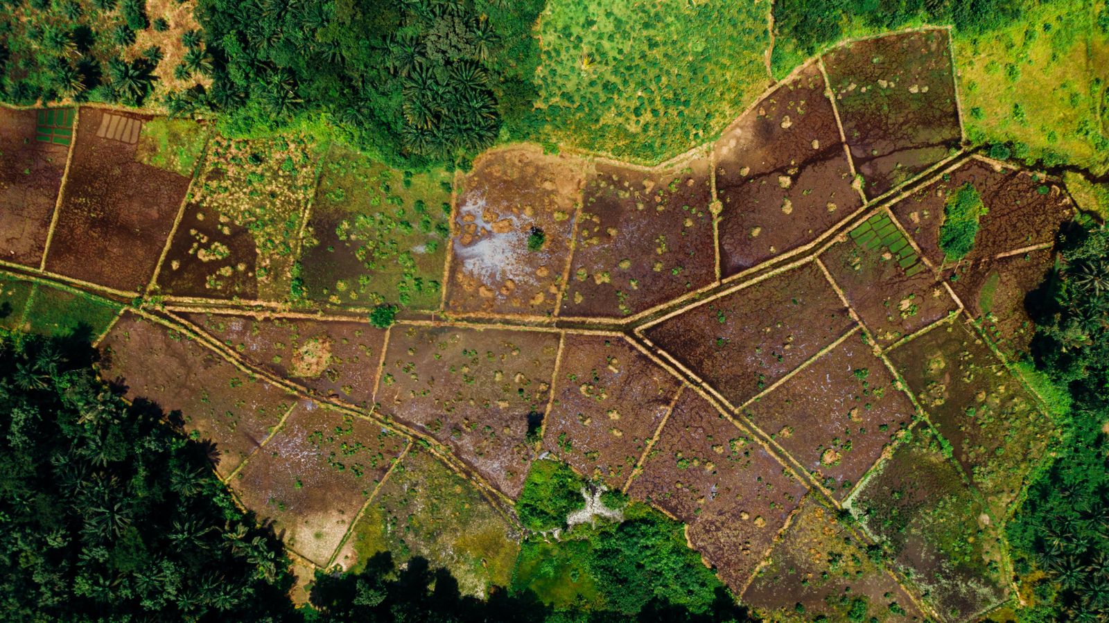
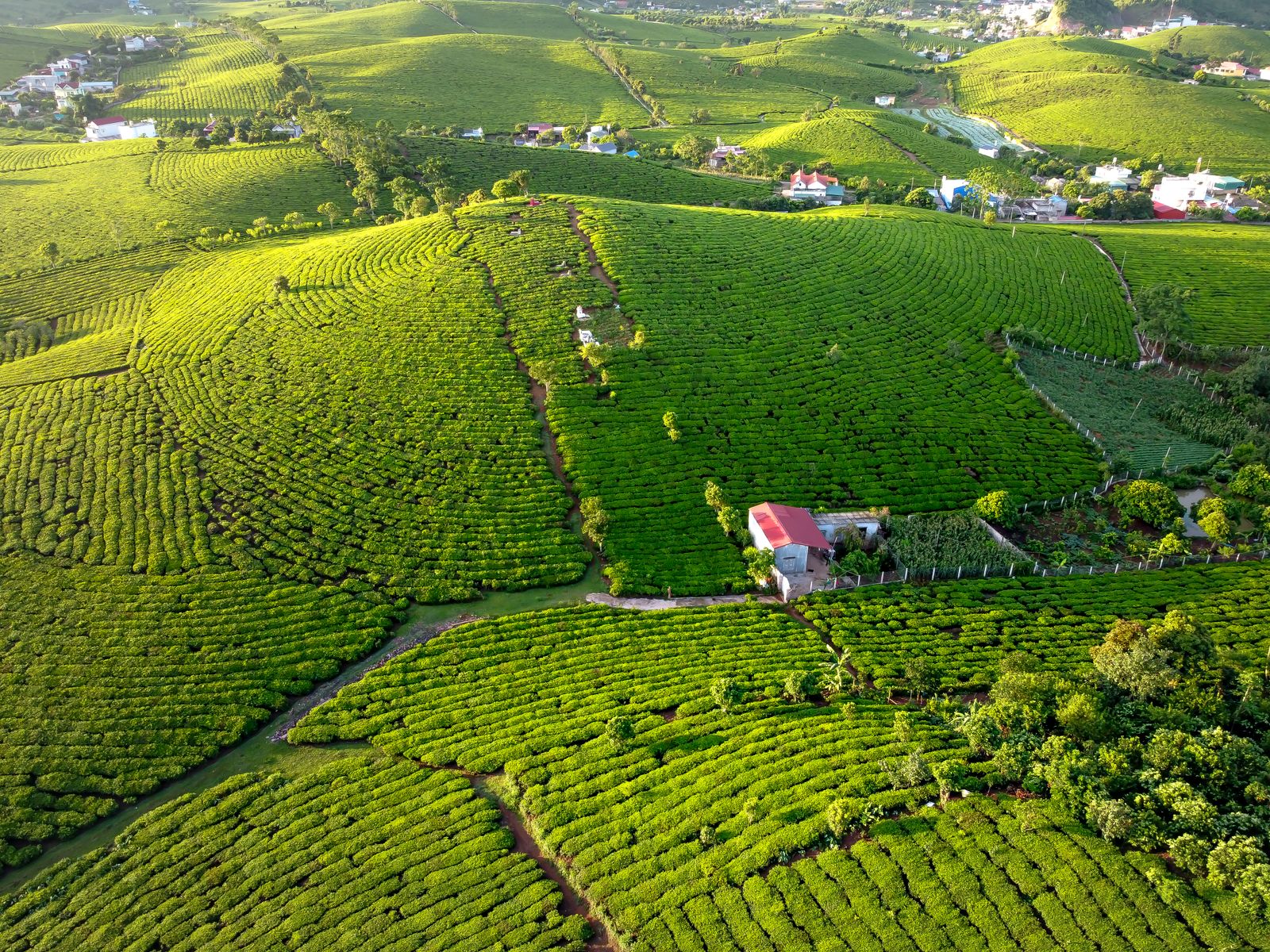
For land buyers, sellers and owners, the physical site matters as much as the paperwork. Our real estate support focuses on the land itself—its location context, visible access, layout and measurement needs.
Real Estate Support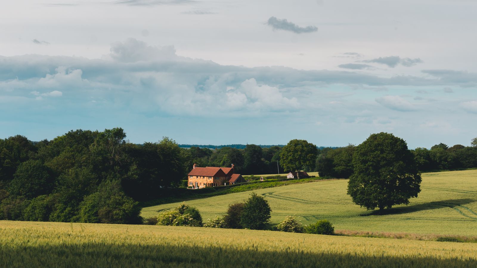
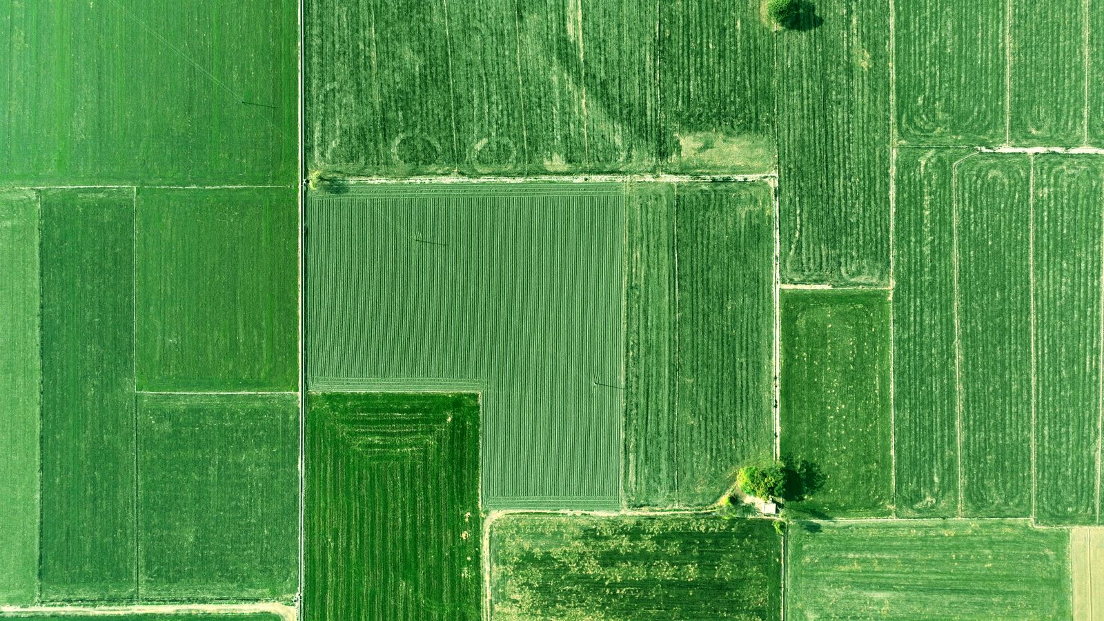
Choose the service based on what you need to understand or plan on the site.
Useful when you need clearer dimensions and field reference around your property.
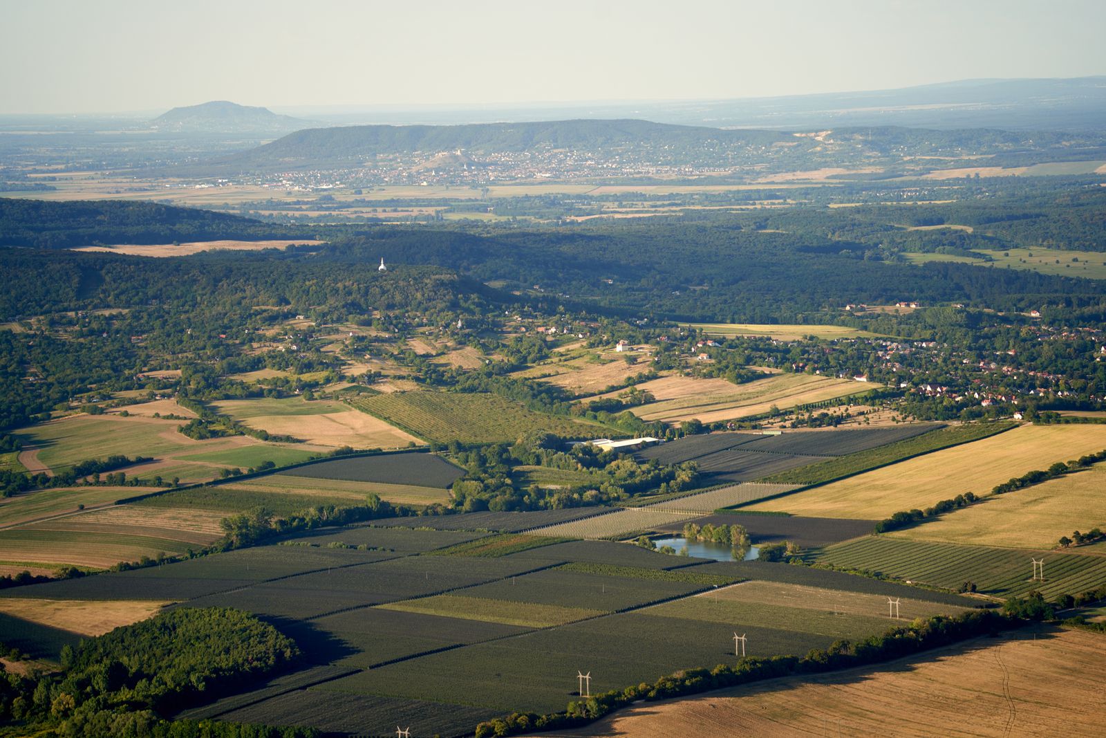
Understand the physical site and measurement requirement before moving further.
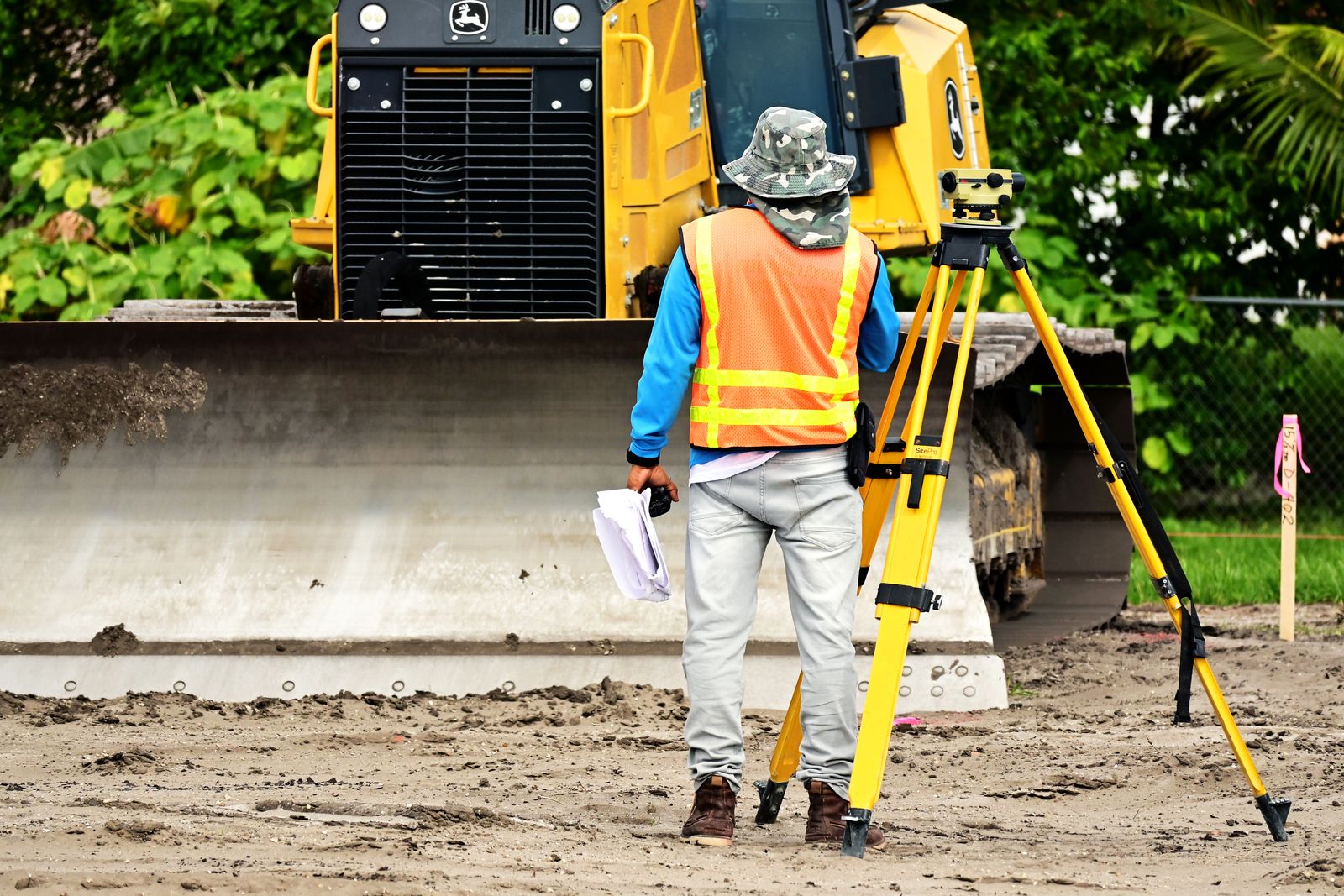
Field measurement can provide a cleaner base for planning conversations.
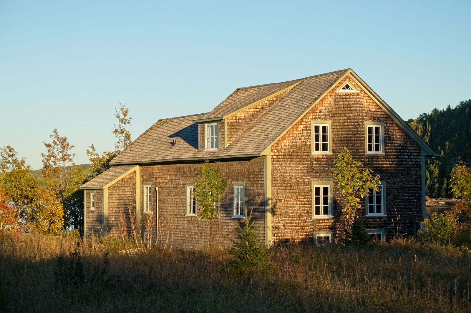
Land-focused assistance for real estate visits and site understanding.
No two plots behave the same. Access, edges, terrain and surrounding features matter.
Numbers are most useful when the owner understands what they mean on the ground.
We explain the next step in practical language so the process stays clear.
Survey work should help planning, ownership discussions and property decisions move forward.
For exact scope, site availability and required documents, contact Raska Land Care with your location and requirement.
Raska Land Care focuses mainly on digital land survey, plot and boundary measurement, topographic/site mapping and related land-care support. The exact method depends on the site and requirement.
Share the site location, a contact number, the purpose of the survey and any relevant land papers or earlier map references you already have.
Yes. Real estate land support can be discussed for site understanding, measurement needs and practical field-level assistance. Specific legal or registration advice should be handled by the appropriate qualified professional.
The business is based in Gauripara, Karkha, Banshihari, Dakshin Dinajpur, West Bengal. For nearby or farther locations, call or WhatsApp to confirm availability.
Send the site location and what you need measured. We’ll use that to understand the survey requirement before the visit.